FAQ
1. How can I update the device?
Mobile app updates will be automatically notified and available on AppStore and PlayStore, while product firmware updates will be notified via app and executable through the dedicated App “The Meter – Doctor” on the relevant stores.
2. How does it deal with glass/transparent/semi-transparent/shiny surfaces?
The Meter, with its dual detection system, captures most surfaces. Transparent or reflective surfaces could give more problems.
3. What is the degree of accuracy of the measurement?
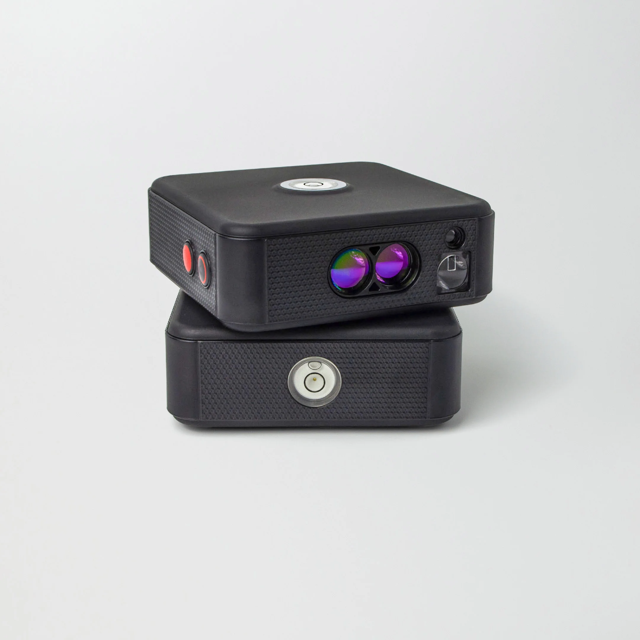
CUBE PRO acquires one point every 0.225 degrees, for a total of 1,600 points up to 60 meters away. Cube 2 acquires one point every 0.1125 degrees, for a total of 3200 points up to 60 meters away.
4. What type of file is generated by The Meter?
The file that is generated is a multilayer .DXF, with the addition of 3 levels of simplification, suitable and editable by all drawing programs. To download an example of a .dxf survey go to Support – Documentation – Technical – Survey Examples section.
5. What distance does the device reach?
Ther Meter devices, in Cube Pro and Cube 2 versions, in automatic mode and using the transparent laser, reach a maximum range of 60 meters, which doubles by placing the device in the center of the room.
6. Can external surveys be performed?
The Meter is suitable for both indoor and outdoor space surveying.
7. Will the rooms have to be empty?
No, in the presence of obstacles, in automatic mode, simply place the device at the next position, so that it can detect the points that have remained hidden. In manual mode, individual points of interest can be captured, avoiding any obstacles.
8. Can it also work vertically?
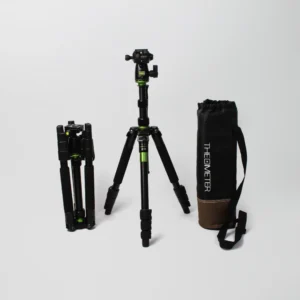
Certainly. With the tripod screw, side bubble, and accelerometer for alignment, The Meter can be placed vertically to measure the section.
9. How are measurements saved?
Measurements are saved on the Application in the Projects menu, using available space on your smarthphone or tablet.
10. Can The Meter devices connect multiple rooms?
Thanks to the multiscan function The Meter connects multiple rooms. Watch the video on YouTube or download our guides
11. Is it possible to customize the survey by inserting icons?
Of course! In automatic mode you can insert Markers to the floor plan and any comments, which will be inserted into the .dxf file in a dedicated layer called “Markers”. Choose the one that best meets your needs!
12. Is it possible to create photographic documentation for the survey?
Yes! Once the survey has been carried out in automatic mode, photographic documentation can be created to support the work. Choose the points in the survey that you want to enrich with images and take photos (via the Marker section) . Choose the survey export mode. 1. Classic: surveys will be exported in DXF classic format. 2. Classic + Images: both the surveys in DXF format and the images taken will be exported to a single zip file 3. NextGen: surveys in DXF format with the images taken inside will be exported to a single zip file
13. WHY DON’T I SEE THE IMAGES INSIDE THE NEXTGEN FILE?
Performance depends on the CAD program used and the version. In case your CAD does not support images within the .dxf, you can export the file in the “Classic + Images” mode that we developed to give you the possibility to have the images within the zipper file with a reference name indicating the location within the .dxf.
